Wintry weather may cause travel delays over the weekend
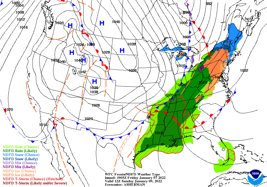
Weather forecasters are predicting “disruptive snowfall” as Winter Storm Garrett is rapidly moving through the Northeast, potentially shutting down highways in the region. Wintry weather is hitting other parts of the nation as well.
The National Weather Service is warning of a “quick-hitting Nor’easter to bring disruptive snowfall to parts of the Northeast and New England” on Friday. Dubbed Winter Storm Garrett, total snowfall amounts of 4 to 12 inches are expected over eastern Connecticut, Rhode Island, eastern Massachusetts and coastal sections of Maine.
At 1:30 p.m. local time, the National Weather Service reported 18 inches of snow in Henderson, N.Y. More than a foot of snow fell down on Mill Creek, W.V. (14.5 inches), Burrillville, R.I. (13 inches) and Danielson, Conn. (12.8 inches).
Disruptions from wintry weather are already occurring in the region. FlightAware.com is reporting more than 2,500 flight cancellations within, into, or out of the United States. Airports with the most cancellations include LaGuardia, Boston Logan, Newark Liberty and John F. Kennedy International.
At the request of the Maine State Police, the speed limit on the Maine Turnpike has been reduced to 45 mph from the New Hampshire state line to mile marker 109 in Augusta. Over-limit vehicles are prohibited.
As of Friday afternoon, there were no major highway closures or power outages related to wintry weathers.
Go to NewEngland511.org for up-to-date road closures in the region.
States already hit by Winter Storm Garrett had to shut down highways and restrict travel. Friday morning, the New Jersey Department of Transportation lifted a commercial vehicle travel restriction that began Thursday night. All tractor-trailers were restricted on portions of Interstates 76, 76, 80, 195, 280, 287, 295 and 676.
NJDOT is warning drivers that high winds may cause snow drifts. Wet roads may be slippery. Consequently, use caution as there is a chance of refreeze and icing.
Meanwhile in the Northwest, a final surge of wintry weather will hit the region while also dumping heavy mountain snow across the Northern Rockies. Additional snowfall amounts up to 1-2 feet are possible, which will exacerbate the already growing concerns for avalanches. Winter Storm and Avalanche Warnings are in effect.
Due to continued wintry weather conditions, I-90 Snoqualmie Pass will likely remain closed until Sunday, according to the Washington State Department of Transportation. I-90 remains closed from North Bend at milepost 34 to Ellensburg at milepost 106.
Gusty winds up to 60 mph are expected throughout the Northwest, Northern Great Basin, and Northern Rockies. Wind gusts could lead to blowing and drifting snow over parts of northwestern Montana, where blizzard warnings are in effect. However, wintry weather should calm down by Saturday across that part of the country.
Do not forget to chain up when necessary. For a complete list of state chain laws, click here. LL
Related News